The Arkadiko bridge, or the oldest arch still standing
Somewhere around 1300 BCE, a Mycenaean military road climbed out of the fortified city of Tiryns, crossed the dry hills of the Peloponnese, and aimed itself at Epidauros, about forty kilometers away. The road was built to move war chariots. Where a seasonal stream cut across the route near the village of Arkadiko, someone needed to get over it. What they built is still there.
The Arkadiko bridge sits in Argolis, fifteen minutes’ walk from the modern road that follows roughly the same line the Mycenaeans surveyed. It is 22 meters long, 4 meters tall, and barely wide enough for a single chariot: 2.5 meters of usable roadway, hemmed by walls of stacked limestone boulders that run nearly 5.6 meters wide at the base (Wikipedia). No mortar holds any of it together. Gravity does. The stones have not moved in three thousand years.
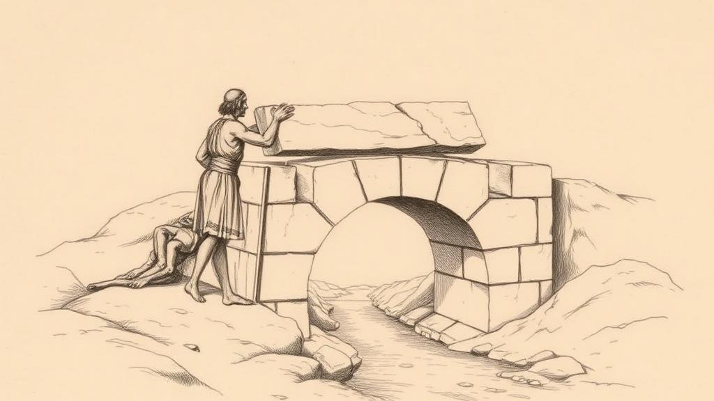
The engineering technique is called corbeling — the immediate ancestor of the true arch, though not yet the thing itself. Rather than setting wedge-shaped voussoirs around a curve so they press against one another and lock in compression, Mycenaean builders laid flat horizontal slabs, each course projecting slightly inward from the one below, until the two sides nearly met at the top and a capstone closed the gap (Amusing Planet). The result resembles an arch and behaves like one for light loads, but the physics are different: a corbeled opening generates no lateral thrust. Its limitation is the cantilever — a slab can only project so far before its own weight breaks it, which is why Arkadiko’s culvert is barely one meter wide. One meter is enough for a stream.
There are four other Mycenaean corbel bridges within a few kilometers, all part of the same Bronze Age highway. The Petrogephyri bridge is the best preserved of the group; the Kazarma bridge, named for a ruined fort above it, is the largest. Together they make something more than a crossing: a maintained road network, conceived and built at a scale that implies surveying, coordinated labor, and state resources (Greek City Times). This was infrastructure, not improvisation.
Here is the detail that settles the question of whether any of this was thought through. Several of these Mycenaean bridges carry low stone curbs along their roadway edges. Chariot wheels are narrow. At speed on a stone span over a gully, a slight drift sends a wheel over the side. Someone on the Bronze Age road-building crew thought about this, measured the wheel gauge, and put the curbs there. The Bronze Age charioteer had a guardrail.
The Mycenaean civilization collapsed around 1200 BCE — abruptly and almost totally, in one of history’s least-explained disasters. The palaces burned, the writing system vanished, the road network stopped being maintained. The Arkadiko bridge did not care. It outlasted Tiryns, the palace-city that commissioned it. It outlasted the chariots it was designed to carry. It is still, technically, in use.
The true arch — with its wedge-shaped voussoirs and lateral thrust and practically unlimited span — would come later, first in Etruria and then across the Roman world, raising aqueducts over valleys and vaulting forum ceilings. The stones at Arkadiko were never that ambitious. They just had to hold. They are still holding.
Sources
- Arkadiko Bridge — Wikipedia — Dimensions, dating (1300–1190 BCE), corbel arch construction technique, Mycenaean military road context.
- Arkadiko Bridge: World’s Oldest Bridge — Amusing Planet — Corbeling technique explained, the Petrogephyri and Kazarma bridges, current accessibility.
- The Arkadiko Bridge: Oldest Preserved Bridge in Europe — Greek City Times — Road network scale, chariot-wheel curbs, related Mycenaean bridges.