The Abauntz map, or how a hunter scratched the world onto a stone
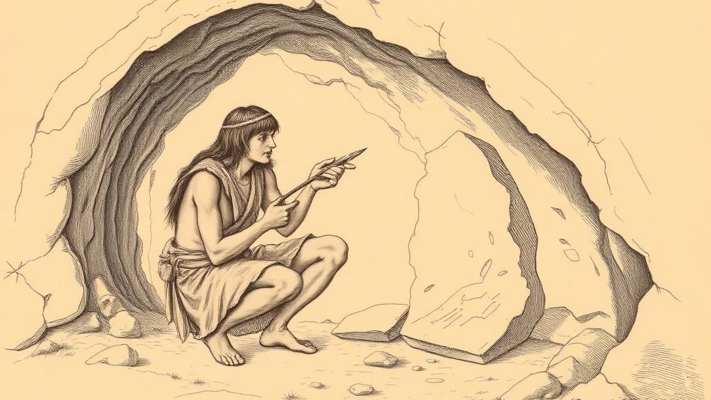
A Magdalenian hunter crouches in the back of Abauntz Cave, in what is now Navarre, northern Spain, sometime around 11,660 BCE. He has a flint burin in one hand and a limestone block the size of a hardback book in the other. Outside, through the cave mouth, a particular mountain ridge rises above the Araitz valley — a ridge visible from exactly where he sits. He begins to scratch.
What he scratched — a meandering river, two tributaries joining near two peaks, a floodplain where ibex come to drink, herds of the same animals noted on the hillsides — spent the next thirteen millennia buried under sediment in the cave floor. When archaeologists from the University of Zaragoza excavated Abauntz in 1993, the stone looked like a mess of random lines. It took Pilar Utrilla and her team fifteen years to realize they were reading a map.
Their 2009 paper in the Journal of Human Evolution made a precise claim: the engraved block is a Late Magdalenian map of the surrounding landscape, the oldest in Western Europe and among the oldest anywhere on Earth. The stone weighs just over a kilogram and measures roughly 20 centimetres long. Side A traces what appears to be a local river, joined by two tributaries, flanked by two mountain shapes. One of those mountains corresponds to the peak visible from the cave entrance — the cartographer put the most prominent landmark in the most prominent position. Ibex are scratched into its slopes. Additional engravings suggest what the researchers interpret as routes: access corridors through the terrain, paths for hunters to follow.
The correspondence was confirmed by overlaying the block on a modern topographic map of the Araitz valley. The fit is imprecise — this is not a surveyor’s instrument — but features within an hour’s walk of the cave match marks on the stone. The floodplain depicted still floods seasonally after snowmelt, exactly as drawn. The hunter was not guessing.
What the Abauntz engraver was doing is more specific than making art: he was transmitting knowledge about a place to someone who had not been there. The ibex are not decorative — they mark where to hunt. The routes are not ornamental — they tell you how to reach the valley. A hunter who had never walked that ground could pick up this block and learn something true about it. Spatial knowledge, previously locked in one person’s memory, became portable.
That is the entire premise of cartography. It predates cities, writing, and mathematics. It requires only the recognition that a place can be described, and that the description can travel further than the person who made it.
Every grid, projection, and satellite tile since is a refinement of the same transaction, carried out by the same impulse — to draw the way.
Sources
- History of Information — Abauntz Cave Map — discovery timeline, physical description, dating, and significance as the oldest known map in Western Europe.
- Utrilla et al. (2009), Journal of Human Evolution via ScienceDirect — primary peer-reviewed paper; landscape features identified, topographic confirmation methodology.
- EvoAnth — A 13,530 year old stone age map — river/mountain correspondence to Araitz valley, the floodplain detail, and critical assessment of the researcher methodology.